Dive Deeper
A virtual exhibit exploring the Quoddy region of the Bay of Fundy, presented by the Huntsman Marine Science Centre.
Scroll down to next section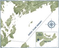
Come and dive into the Quoddy region
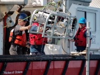
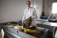
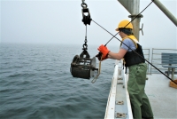
The Quoddy region nestles in the southwest corner of the Bay of Fundy on Canada's east coast. Its diverse habitats range from the sheltered, muddy seabed of Passamaquoddy Bay to the tide-swept passages of the Western Isles. Now, we're bringing the seafloor to your fingertips. Immerse yourself in 360° videos of some amazing locations. Explore above and below the waves using our interactive seabed map. Use the virtual microscopes to see the tiniest of marine life. Find out how marine scientists explore this environment. We invite you to come dive in and experience life below the ocean waves with our group of marine scientists.
The name Passamaquoddy Bay comes from the Peskotomuhkati (Passamaquoddy) Tribe. It means “Bay of the Pollock” and refers to the plentiful fish stocks that drew First Nations people to the region.
Tremendous Tides
Each tidal cycle brings millions of tonnes of water rushing into the Quoddy region. The depth of water over the seabed can change up to eight metres in a single tidal cycle. This massive influx of water creates upwellings and powerful tidal currents. The wildest of these are at the entrances to Head Harbour Passage and Letete Passage. In Head Harbour Passage, the rushing water forms the largest whirlpool in the western hemisphere, the “Old Sow.”
Pause video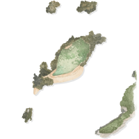
Sandy Island
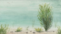
At Sandy Island the sun-bleached poles of an abandoned herring weir protrude from the water. Below the surface, the abandoned poles now provide a home for many species. Undulating in the current, forests of pink-mouthed hydroids encrust the weir pilings. Sea vases and fronds of kelp jostle for space with them. Giant anemones dwell in the soft sediment below. You may even catch a glimpse of a lumpsucker.
Explore Site: Sandy Island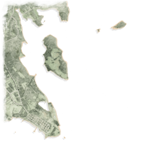
Passamaquoddy Bay Pockmarks
On the northwest side of Passamaquoddy Bay, over 11 000 strange conical depressions cover the seabed. These “pockmarks” can be over 300 metres in diameter (that’s longer than five hockey rinks) and 50 metres deep. Scientists think that methane gas, escaping from the seabed, may form the pockmarks. Only an occasional sea star or sea cucumber is visible on the surface here. But dig down into the sediment and you will find a sub-surface city of worm tunnels, bivalve burrows, and tiny crustaceans.
Explore Site: Passamaquoddy Bay Pockmarks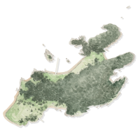
Casco Bay Island
Strong tides funnel through Head Harbour Passage. These sweep the steep and rocky underwater walls of Casco Bay Island. This flow of water provides abundant food for the bright anemones, massive sponges, and translucent sea vases. Gigantic lobster range over the seabed in search of prey. In deeper water, forests of long-stemmed sea potatoes cloak the rocky floor.
Explore Site: Casco Bay Island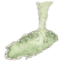
Green’s Point
Dense rockweed covers the rocky coastline around Green's Point. It forms thick underwater forests. These are home to creeping periwinkles, scuttling crabs, and many juvenile fishes. In the deep tidal pools on the Point's shore, you might find horse mussels and sea stars. You can see many birds, including common eiders and bald eagles. You might even glimpse a porpoise hunting in the tidal rapids offshore. The historic wooden lighthouse, built in 1903, overlooks the Point.
Explore Site: Green’s Point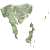
Deer Island Point
At Deer Island Point, the rushing waters of Western Passage and Head Harbour Passage collide. This creates the “Old Sow,” the western hemisphere's largest whirlpool. Abundant life crowds the rocky seabed here, feasting on the plentiful plankton supplied by the strong tides. This in turn attracts fish and crabs to feed on these filter feeders. If you look carefully, you can spot the snaggle-toothed faces of wolffish peering out of their rocky dens.
Explore Site: Deer Island Point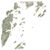
Head Harbour Passage to the Wolves
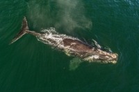
On the outer fringes of the Quoddy region, tides and seabed combine to create upwellings. These concentrate the tiny plants and animals that make up the plankton and push them up to the sea surface. Many species congregate here to feed on this bounty. You can see flocks of birds, diving down to snatch prey from the sea surface. Humpback whales loom up from the depths, scooping up the krill and herring in their vast mouths.
Explore Site: Head Harbour Passage to the WolvesExplore Marine Technologies
Huntsman Marine Science Centre
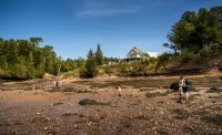
Huntsman Marine Science Centre is a private, not-for-profit institution based in St. Andrews, New Brunswick. Our mission is to deliver high-quality marine research and education. Huntsman's Fundy Discovery Aquarium allows visitors to experience Bay of Fundy marine life firsthand. Huntsman scientists led the development of this site.
Our Supporters
St Andrews Biological Station, Fisheries and Oceans Canada
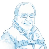
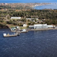
Fisheries and Oceans Canada's (DFO) St. Andrews Biological Station is Atlantic Canada's oldest marine research facility. Scientists at the station study coastal ecosystems and fisheries in the Bay of Fundy, Gulf of Maine, Prince Edward Island, and Nova Scotia. Peter Lawton, DFO Research Scientist, advised on content. He also supplied seabed habitat images, which he collected for his research.
Ocean Mapping Group, University of New Brunswick
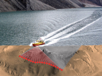
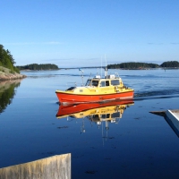
The Ocean Mapping Group develops new and innovative techniques and tools for ocean mapping. They supplied much of the multibeam bathymetry of the Quoddy region used for this website. The Canadian Hydrographic Service supplied additional multibeam data.
Maria Ines-Buzeta and Michael Strong
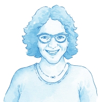
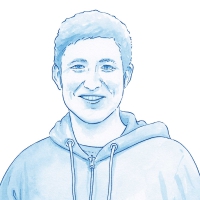
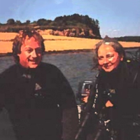
Maria and Mike are marine biologists specializing in seabed habitats. They have spent years exploring and SCUBA diving in the Quoddy region, both for work and in their boat, the Fundy Bear. They have published a book, Beneath the Tides of Fundy, on its marine life. They advised on website content and supplied imagery from their collection.
This online project was developed with the support of the Digital Museums Canada investment program. Digital Museums Canada is managed by the Canadian Museum of History, with the financial support of the Government of Canada.


